
3D LASER SCANNING
Point Cloud Creation, 3d Models, 2d Linework
Point Cloud Creation, 3d Models, 2d Linework

Laser Scanning
We provide our clients in various Architectural and Engineering disciplines with high quality drawings generated from scanned point clouds. We utilize high speed laser scanning and specialized software to effectively generate drawings from scanned information. From top view floor plan drawings, to as built surveys of mechanical piping, we are able to provide cost effective solutions.
Point Cloud Creation
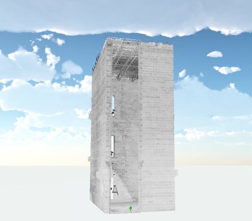
Point clouds allow you to interactively view and manipulate scan data collected in the field all in one place. Each point is bound by a geographical X, Y, and Z allowing us to tie our scans into localized coordinate systems.
This image depicts the accuracy of data our scanning technology is capable of collecting. By trimming out unwanted objects we are able to isolate exactly what the client is looking for. Having a point cloud, we are able to go back and pull additional data from previously conducted scans as many times as needed, reducing the need to make return trips for additional information. Point clouds can furthermore be exported into different applications depending on what the final goal may be.
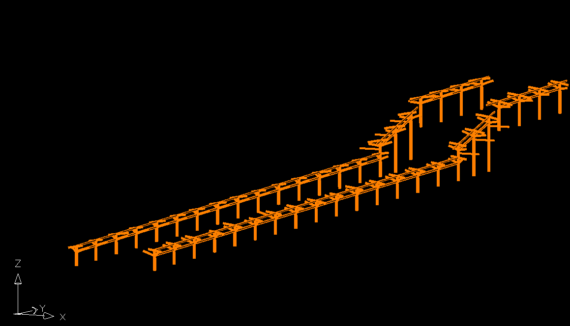
Eliminate the guesswork in production. Both 2D and 3D models aid in prefabrication and production speeds, allowing alignment and part placements to be correct the first time. Ensuring prevising during building design, and preventing costly construction errors.
Applications:
Floor Flatness Surveys
Prefabrication
Plumbness Surveys
As Builts of Constructed Features